
Innovative FerryBox System Tracks Climate Change Effects in Chile
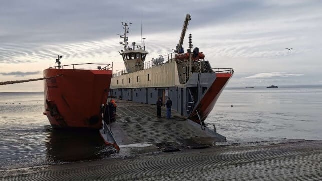
Jena, Germany – Sea water sensor and measuring system manufacturer -4H-JENA engineering has just completed the installation of a sophisticated sea water monitoring system aboard the Yaghan ferry, which operates on a 587 km route between Puerto Williams and Punta Arenas in the south of Chile.
A first of its kind in the Southern Hemisphere, the installed ‘FerryBox’ has been configured to measure diverse parameters that will enable a team from the Austral University of Chile and FONDAP IDEAL Center, led by Dr Ricardo Giesecke, to map ecosystem deviations and apply the data to create new models that will help the region adapt to the effects of man- made climate change.
FerryBox is a highly customisable all in one solution for precise and continuous measurements of sea water from (moving) platforms such as merchant ships and ferries, as well as manned or unmanned research stations in remote regions. The FerryBox system on the Yaghan ferry measures water temperature, oxygen, salinity, chlorophyll-a, pCO2
concentration, pH, nitrate, crude oil, yellow substance, and turbidity. It also includes a set of radiometers provided by the ICBM (Uni. Oldenburg) installed on the bridge of the ship, to measure optical properties of the water.
“Together with the Austral team, we configured the FerryBox to measure factors that will indicate changes in the marine environment caused by melting glaciers,” said Dr Maik Grunwald, Head of R&D, -4H-JENA engineering. “There has been little study of the marine ecosystem in the region so the measurements in the subantarctic waters and fjords of Southern Chile will prove vital to scientists working to establish the effects of glacier melting and climate change in subantarctic environments.”
The Yaghan ferry FerryBox will analyse sea water samples every minute along the entire 36 hours trip between Puerto Williams and Punta Arenas, with six sailings per month. Over time, the data collected will contribute towards helping Chile to tackle important questions such as the impact of human activities in still pristine environments, measure the impact of climate change on a wide spatial scale with high temporal resolution, and define processes involved in keeping high biological productivity in certain areas.
This information will also be available for local governments to development strategies for the protection of high productive ecosystems as well as for policy orientated initiatives for the responsible management of marine coastal ecosystems.
The products and services herein described in this press release are not endorsed by The Maritime Executive.
