National Weather Service Launches Forecasting Webinars for Mariners

The U.S. National Weather Service is launching an inaugural series of live webinars on winter weather forecasting geared toward blue water mariners. The seminars will each have room for up to 250 mariners, and they are presented no cost to participants.
Mariners with an interest in learning more may sign sign up on-line at the links shown below.
“North Atlantic, Caribbean, and Gulf of Mexico: Wind and Wave Forecasts and Warnings”
1200-1300 EST (1700-1800 UTC), Thursday, December 10
Register at: https://attendee.gotowebinar.com/register/2863141884219653646
“Northeast Pacific: Wind and Wave Forecast and Warnings”
1200-1300 EST (1700-1800 UTC), Friday, December 11
Register at: https://attendee.gotowebinar.com/register/7725906880407849230
Speakers
 Mr. Darin Figurskey, Chief of the Operations Branch at the NWS/NOAA Ocean Prediction Center
OPC's Ocean Forecast Branch issues warnings and forecasts in print (bulletins) and graphical formats, on a 24x7 basis up to five days in advance. Over 150 of these products are issued daily. They cover the North Atlantic Ocean from the west coast of Europe to the U.S. and Canadian east coast and the North Pacific Ocean from the U.S. and Canadian west coast to the east coast of Asia. OPC weather forecasts and warnings for these areas primarily ensure the safety of ocean-crossing commercial ships and other vessels on the high seas.

that matters most
Get the latest maritime news delivered to your inbox daily.
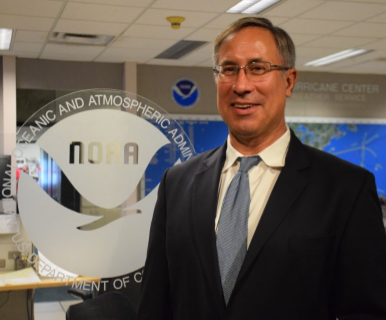
 Dr. Chris Landsea, Chief of the Tropical Analysis and Forecast Branch at the National Hurricane Center
The Tropical Analysis and Forecast Branch (TAFB) within the National Hurricane Center makes forecasts of wind speeds/wave heights and issues wind warnings year-round for 10,000,000 square nautical miles over the Atlantic Ocean north of the equator to 31°N and west of 35°W (including the Gulf of Mexico and Caribbean Sea) as well as the eastern North Pacific Ocean north of the equator to 30°N. These wind warnings include tropical storms and hurricanes as well as winter storms, trade wind gales, and severe gap-wind events.
