NOVELTIS Launches enovOcean.com Marine Weather Forecast

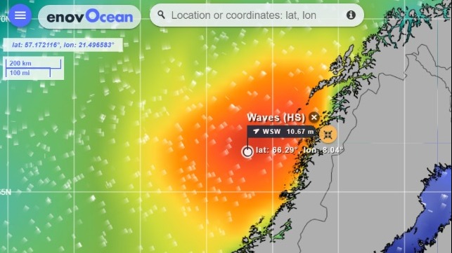
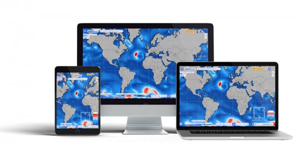
NOVELTIS launched enovOcean, a new marine weather forecast e-platform that features in-depth information while being practical and user-friendly. NOVELTIS is using its more than 20 years of experience in observing and modeling to provide an e-platform with a worldwide vision of the weather and the evolution of potential marine risks.
Beyond the usual parameters of wind, waves, currents, the platform provides more than 60 metocean parameters. Among the services are forecasts over five days looking at weather, winds, sea states including waves, swells and wind waves, sea temperature, and salinity. Other reports include information on currents and sea ice as well as observations.
Designed to be used by all boats, the system also features premium sections for the professional mariner. Among the unique indicators in the premium shop are forecasts of crossed seas and steep seas as well as forecasts of rogue waves and tidal currents. Users can do model comparisons including buoys and satellite data. It also has a fine-scale marine weather forecasting with resolutions from 15 km to 3.5 km.
The wave risk package offers access to a large set of risk animates maps, providing unique information on dangerous sea conditions with a 7-day forecast that is updated every six hours. Advanced indicators, such as crossed sea, rogue waves and steep seas, are provided globally or at fine scale resolutions.
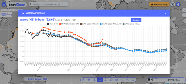
Correlation between the SAVAS wave model in light blue with the in-situ observations from the buoys
The observations and modeling package provides unique access to a large set of satellite and in-situ observations over marine areas. It is also possible to do inter-comparisons between the different models that are available. It makes it possible to assess the accuracy of each forecasting model and helps users decide which forecasting model is more appropriate to plan their operations at sea. This package provides unrivaled operational support to all stakeholders in the maritime industry. It is particularly useful for shipping and offshore activities.
The system also has products specifically for the renewable marine energy sector. The data in this section permits the user to identify areas for development using devices such as tidal energy. These unique products are generated by NOVELTIS’ TidEA system that covers the global coastline around the world and provides data up to 100 meters deep. The TIPS system provides tidal hindcast and forecast data on any point worldwide.
enovOcean is useful for a multitude of sectors including shipping, cruises, yachting, offshore wind farms, offshore operations and maintenance, marine insurances, marine energies, and fishing.
Most data are freely available on https://www.enovocean.com
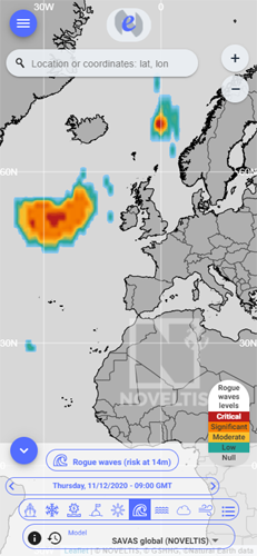
Rogue waves displayed on a phone screen
The opinions expressed herein are the author's and not necessarily those of The Maritime Executive.


