
Future-Proofing the Maritime Industry With S-100 for ECDIS
 As mariners gathered in Oslo for Nor-Shipping 2025, the event’s ‘#Future-Proof’ theme set the tone for forward-looking conversations across the industry. The discussions about the IHO’s incoming S-100 data standards and their potential for Electronic Chart Display and Information Systems (ECDIS) were a great example of this. The sector is preparing for a shift in how maritime data is shared and displayed, ultimately influencing decision-making from ship to shore. But as with any transition of this scale, its success will depend not just on new technology, but on how well the industry prepares for what’s coming next.
New foundations for maritime digitalization
The maritime industry has long relied on data to navigate the seas, with the previously existing S-57 enabling over 100 different producers to deliver Electronic Navigational Charts (ENCs) in a common format, supporting navigation for over 50,000 vessels internationally. These ENCs have given us the ECDIS systems that vessels rely on today. However, as impressive as this achievement has been, the industry can benefit from a new standard that is better adapted to the rapid developments in maritime digitalization.
Based on discussions with the IHO and initial trials, S-100, S-57’s successor, will bring changes to the bridge that mariners can rely on. One of S-100’s core strengths is its interoperability, with organizations having the ability to use this framework to develop their own product specifications.
For example, NAVTOR is integrating S-100 data into its NavStation digital planning tool and collaborating with ECDIS manufacturers to ensure compatibility. If an organization wants to leverage S-100 for their specific needs, they can apply to the International Hydrographic Organization (IHO) for a domain within the IHO registry to start building product specifications within the S-100 umbrella. S-100 is not just about charts; it's about creating a comprehensive digital ecosystem for maritime operations.
Another important feature of S-100 is the ability to integrate multiple datasets into a single ECDIS display. For example, when the ENC chart S-101 is combined with S-102 (Bathymetric Surface) and S-104 (Water Levels), the system will be able to automatically adjust a vessel’s safety contour using precise depth data and real-time tidal information.
Similarly, S-111 (Surface Currents) supports route optimization by enabling mariners to plan more efficient navigation routes. It can also help vessels overcome traditional navigational challenges, making it easier to access certain ports and potentially allowing them to berth more easily and carry additional cargo.
In our current climate-focused maritime environment, these capabilities directly support voyage optimization initiatives that could contribute to decarbonization efforts, aligning with the industry's sustainability goals.
Preparing for the ‘dual-fuel’ transition
The timelines for making S-100 a reality have been established, and progress for its implementation is already well underway. The IMO has published a new performance standard recognizing S-100-enabled ECDIS as operational and legal for use from 2026. The real inflection point comes in 2029, when all new ECDIS installations, including retrofits, will be required to fit S-100 ECDIS. Crucially, S-100-compatible ECDIS will continue to support existing ENCs using the current S-57 standard, ensuring a smooth and gradual ‘dual-fuel’ transition for mariners.
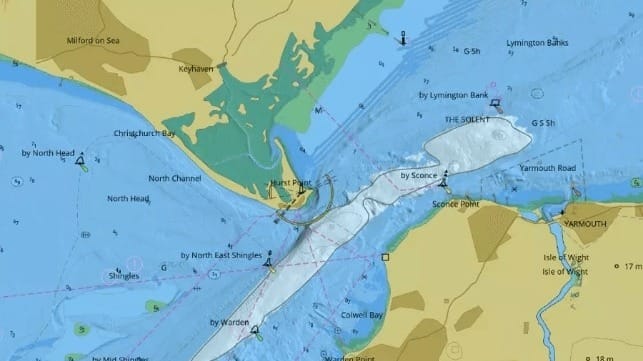
The industry is currently in the testing and development stage, with live sea trials planned this year to test S-100 ECDIS for the first time in real-life conditions. The IHO recently approved the designation of an International IHO S-100 testbed where the UK Hydrographic Office (UKHO) and the French Hydrographic Office (SHOM) are conducting S-100 testing. The chosen trial area will stretch from Portsmouth to Saint-Malo and presents a particularly interesting challenge with its numerous boundary crossings between different hydrographic authorities and between different chart formats.

that matters most
Get the latest maritime news delivered to your inbox daily.
While complex, this makes it an ideal proofing ground for testing how S-100 ECDIS systems handle real-world scenarios. This collaborative effort involves developing data and making it available to ECDIS developers Furuno, Navtor, OSI and 7Cs for integration into their display systems. The demonstrations at recent industry events, like that at Nor-Shipping, have been useful to show the expected benefits to end users, allowing them to provide crucial feedback on whether these products will be beneficial. This testing phase is important in validating S-100's practical benefits. The collaboration between hydrographic offices and ECDIS manufacturers isn't just about meeting regulatory deadlines, it's about building the foundation for the next generation of maritime operations.
Tom Mellor is Head of Technical Partnering at UKHO.
The opinions expressed herein are the author's and not necessarily those of The Maritime Executive.
