
River Data Provided by Tugs Improves Mississippi Port Operations
A first-of-its-kind crowdsourced data program is supporting port and dredging decisions on the Lower Mississippi
A non-profit research institute in Louisiana is applying modern technology to the age-old problem of pilotage on the shifting waterways of the Lower Mississippi River.
Ever since the steamboat era, navigators and port operators on the Mississippi have had to contend with ever-changing shoals, water levels and channel depths. While modern survey methods have greatly improved operators' understanding of river conditions, the Mississippi is still a challenging waterway to predict, and its fluctuations have a real effect on seaport operations.This challenge may soon get easier: with support from the state of Louisiana, the Port of New Orleans and the Department of Commerce, the non-profit Water Institute of the Gulf is building a data-sharing platform to distribute the latest information on river conditions to port operators throughout the region.
The institute's new Lower Mississippi River SmartPort & Resilience Center (or SmartPort) will develop a decision-support tool that will forecast shoaling at port facilities along the Mississippi, improving port operations and giving cargo owners and charterers a better insight into potential delays.
"Dynamic water levels, sedimentation, and reduced visibility are major challenges for ports all along the Mississippi River and beyond. Leveraging existing technology and developing new predictive tools will allow us to address some of the most pressing challenges of today while anticipating those of tomorrow," says Justin Ehrenwerth, the Water Institute's president and CEO.
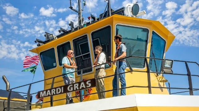
The shoaling forecast tool will draw on bottom-sounding information that is provided in near-real-time from participating tugs and vessels in the area. The initiative is now expanding coverage to include the ports of Lake Providence, Madison, Vidalia, Baton Rouge, South Louisiana, New Orleans, St. Bernard and Plaquemines. According to The Water Institute, it will be the first digital tool of its kind in the world.
In June, the Department of Commerce confirmed a $1.6 million investment in the SmartPort program. The funding complements $1.4 million provided by the State of Louisiana and other supporters. Along with the digital platform for port stakeholders, this $3 million investment will result in the creation of a dedicated facility housed on The Water Campus in Baton Rouge, Louisiana. The facility will also serve as a specialized emergency operation center for ports when needed and a place for the exchange of information during non-emergency times.

that matters most
Get the latest maritime news delivered to your inbox daily.
“The Mississippi River is America’s commerce superhighway. Its capacity and importance to the U.S. economy is second to none. When the channel fills in and large ships are unable to safely transit the river, it sends ripple effects through Louisiana’s economy and impacts our jobs,” said U.S. Rep. Garret Graves (R-LA). “This grant will allow the Water Institute of the Gulf, the ports and other partners to identify areas that need dredging before they become a problem. This benefits the resiliency of the channel, jobs and our economy. This is a great example of how new technology can help to solve old problems.”
According to Louisiana Economic Development Secretary Don Pierson, the platform could be exported to "ports across the country and around the world" after its development on the Mississippi.
